A boundary worth stopping for
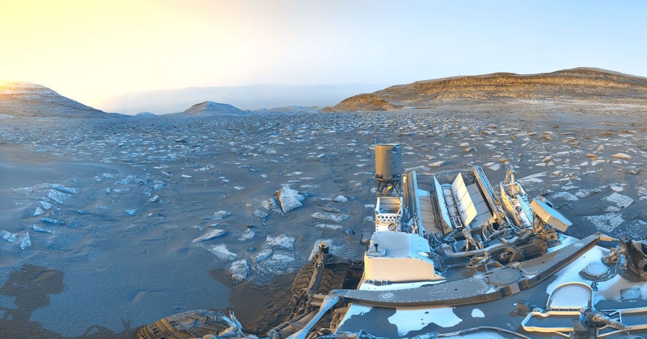
In the days leading up to the Fourth of July 2026, Curiosity was navigating the edge between two strikingly different terrain types within Gale Crater. On one side lay a relatively flat, sandy surface marked by polygonal patterns — textures that geologists associate with repeated wetting and drying cycles over geological time. On the other side, rougher, more consolidated bedrock awaited. That boundary, long identified in orbital imagery before the rover reached the area, represents a meaningful shift in how sediments were deposited on the crater floor billions of years ago.
Within the rougher unit, Curiosity's cameras revealed what the science team describes as pinstripe textures: thin, parallel laminations that are typically linked to slow, steady accumulation in a calm lacustrine environment. If that interpretation holds, these rocks once formed at the bottom of a lake — a body of standing water on a planet that today is cold, dry, and bombarded by radiation. Deborah Padgett, MSL Operations Product Ground System Task Lead at NASA's Jet Propulsion Laboratory, highlighted the transition as one of the most visually compelling the rover has encountered in this part of its traverse.
Moving fast through a mosaic of geological units
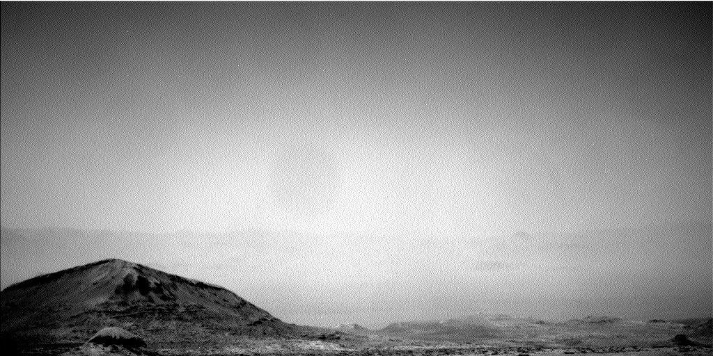
Through the following week, ending around July 10, 2026, Curiosity maintained a brisk pace. The rover moved through several mapped geological units — discrete zones defined from orbital data — sometimes spending only a single planning sol at each location before pushing on. This rapid survey approach is a deliberate choice: the science team aims to build a broad picture of the region's mineralogical and stratigraphic diversity before committing to longer stops at the most scientifically rewarding sites.
Alex Innanen, an atmospheric scientist at York University in Toronto and one of the planners for this period, noted that each unit brings new information about past environmental conditions on Mars. One of the mission's most valuable ongoing lessons is the comparison between orbital predictions and ground-truth observations — surface data regularly refines, and occasionally challenges, interpretations made from orbit.
Over a decade of driving, still delivering
Curiosity launched in November 2011 and touched down in Gale Crater in August 2012. The rover has now covered more than 32 kilometers of Martian terrain, climbing the flanks of Aeolis Mons — informally known as Mount Sharp — whose layered geology serves as a stratigraphic record stretching back billions of years. Despite wear on some of its instruments, the rover continues to operate under the direction of JPL, part of Caltech in Southern California.
The broader scientific goal remains unchanged: to reconstruct Mars's climate history by reading the sedimentary archive layer by layer, tracing the planet's evolution from a potentially habitable world to the arid, oxidizing environment it is today. Whether the ancient lake beds Curiosity is now crossing ever hosted microbial life is a question the rover's instruments cannot definitively answer — but every new boundary crossed brings scientists one step closer to framing that question with precision.