Sand ripples frozen in stone
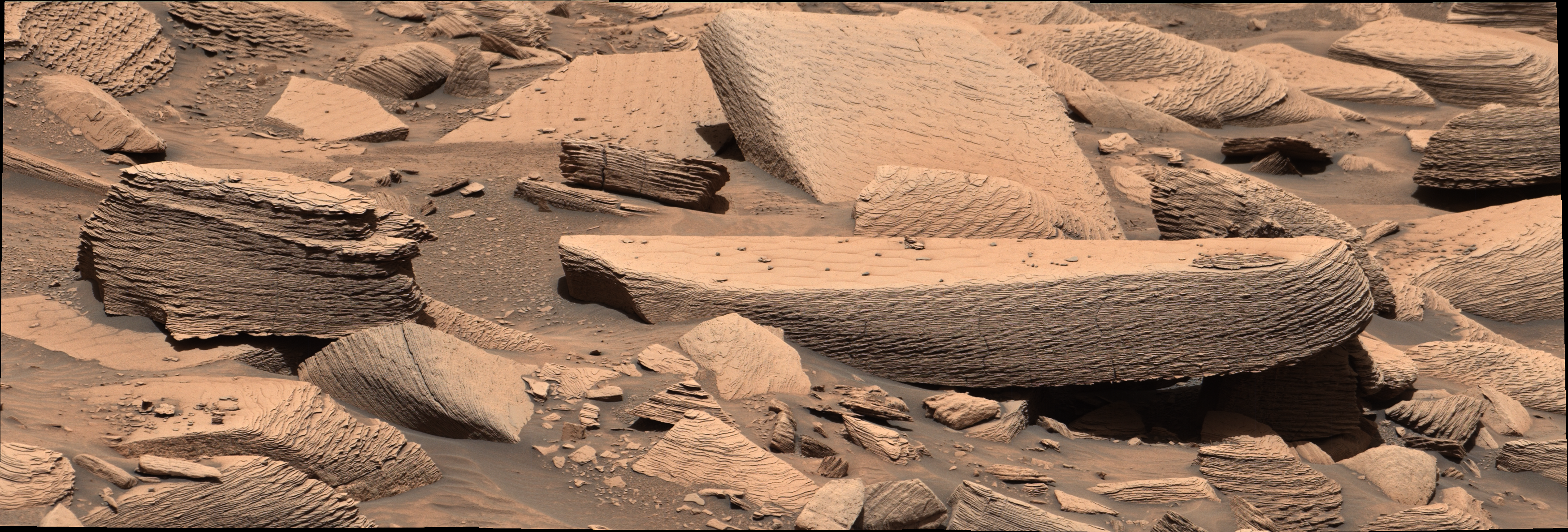
Billions of years ago, a fierce sandstorm swept across the Martian surface for several hours. Driven by strong winds, sand ripples stacked on top of one another in rapid succession, layer upon layer, until the accumulated sediment gradually hardened into rock. That is the story encoded in an image taken by NASA's Curiosity rover on December 12, 2024 — the mission's 4,391st Martian day, or sol.
The photograph shows a finely laminated rock structure in which each distinct band corresponds to a separate phase of wind-driven sediment deposition. Planetary geologists recognize this pattern as cross-bedding, a hallmark of environments where aeolian transport dominated. Analogous formations occur on Earth in fossilized desert sequences and ancient dune fields, making them a reliable indicator of past wind activity when identified on other worlds.
Gale Crater as a living geological archive
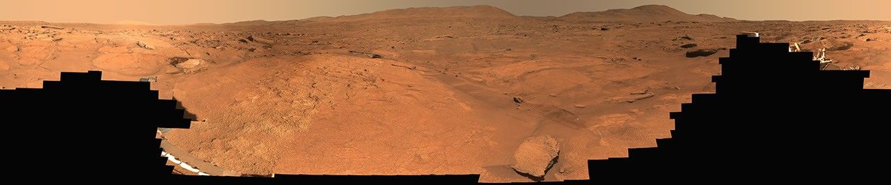
The discovery comes during an unusually dynamic stretch of fieldwork for Curiosity. A mission blog covering sols 4,947 through 4,953 — authored by Alex Innanen, an atmospheric scientist at York University in Toronto — notes that the rover has been moving briskly through a series of distinct geological units, sampling a different terrain type at nearly every stop. Each zone presents a different rock composition and texture, building a detailed cross-section of Gale Crater's sedimentary record.
Operational since August 2012 and long past its original planned mission duration, Curiosity continues to return high-quality science. Instruments such as the ChemCam laser spectrometer and the Mastcam imaging system allow the team to assess rock chemistry and structure remotely before committing to direct contact. That step-by-step approach is especially valuable when working in areas dense with fragile or structurally complex outcrops.
Reading ancient winds to understand habitability
Identifying the signature of a billion-year-old sandstorm is more than a geological curiosity. It sheds light on what Mars's atmosphere was capable of at a time when conditions on the planet may have been more hospitable to life as we understand it. Reconstructing how sediments were moved and deposited helps scientists piece together the evolution of surface conditions — atmospheric pressure, climate cycles, and the potential presence of liquid water during certain periods.
NASA and its scientific partners expect this kind of contextual data to inform planning for future missions, whether crewed or robotic. Each geological formation that Curiosity documents contributes to a growing map of a world that humanity is seriously considering visiting in the coming decades.
As the rover continues its traverse across terrain that shifts with every drive, Gale Crater keeps yielding its secrets — one layer of rock at a time — from a planet that once looked very different from the cold, thin-aired desert it is today.